Showing posts with label Aliyar. Show all posts

Sunday, July 26, 2015

Parambikulam - Forest of Teaks & Tigers

The Western Ghats or Sahyadris, is a stretch of mountains running south along the western edge of the Indian peninsula. Starting somewhere on the border between Gujarat and Maharashtra it runs south through Maharashra, Goa, Karnataka, Kerala and ends at Kanyakumari in Tamilnadu. 

It is now an UNESCO World Heritage Site and in its 1600 kilometers of nearly unbroken terrain, encompasses within its 160,000 square kilometers, one of the world's 10 most hottest 'biodiversity hotspots'! Along its length it includes 39 major national parks, wildlife sanctuaries and reserve forests; 20 in Kerala, 10 in Karnataka, 5 in Tamilnadu and 4 in Maharashtra.


I said 'nearly unbroken' because when it reaches the middle of Kerala the Western Ghats suddenly sinks to the ground from an average elevation of nearly 2700 meters to just 140 meters above MSL for about 30 kilometers of its' length. This is the Palghat Gap, a cleavage in this mountain chain allowing an east-west access from the peninsula to the west coast. On the north lies the Nilgiri Biosphere Reserve and the south is flanked by the Anaimalai hills.


On the northern edge of the Anaimalai hills, in Palakkad district is Nelliyampathy and it forms the northern border of Parmbikulam Tiger Reserve. Parambikulam sits in one of the biodiversity rich parts of the Western Ghats. On the west is the Peechi-Vazhani WLS and Sholyar. On the east is the Aliyar RF, Indira Gandhi National Park and Chinnar WLS. On the south is the Sholayar reservoir and Chalakudy river, beyond which lies Idamalayar. At the southern tip of this approximately triangular part of the western ghats is Idukki WLS and Periyar Tiger Reserve


This is an area that I could spend wandering around for the rest of my life, if I could!

I have been to Parambikulam only twice before, in an era when you could drive into the forest in your own vehicle accompanied by the mandatory guide deputed by the Forest Department from the local EDC. That was over a decade ago when Parambikulam was a wildlife sanctuary. There were not many restrictions on the route we could drive on and it was an experience that can never be repeated now. With the elevation of the WLS to a Tiger Reserve in 2009 many restrictions have been put in place to ensure the tiger and its prey base are well protected. This trip was done last monsoon though I'm recording it now!

ROUTES & ACCESS: (All distances from Palakkad)
Though Parambikulam is in Kerala the only access, by road, is through Tamilnadu. Most of those traveling from outside Kerala will have to reach Pollachi before joining up with the road from Kerala at Ambarampalayam. Those coming along the west coast highway (NH-17) from Mangalore side will eventually have to reach Palakkad.

Travellers driving up from South Kerala will have to turn off  on the NH 544 (the erstwhile NH 47) to Nemmara from Vadakancherry. That route will pass through Kollengode before eventually reaching Meenakshipuram, the common point for the three routes. For those coming from North Kerala there are two routes from Palakkad. 

You can either drive up the Palakkad-Pollachi road upto Gopalapuram and take a right turn near the check post to Meenakshipuram. The other route, that people like me living in the town can take is the Palakkad-Koduvayur road, turn left at Koduvayur to Thattamangalam (also spelt Tattamangalam) (21 kms). Immediately after Thattamagalam  the road divides into two. Take a right turn towards Vandithavalam and Meenakshipuram (41 kms); the left goes to Chittur. Ambarampalayam (49 kms) is 8 kilometers after Meenakshipuram, where you have to turn right to Anaimalai (55 kms). In the center of Anaimalai town take a right to Vetaikaranpudur (58Kms) and eventually Sethumadai (66 kms).

Sethumadai, where you turn right to Parambikulam
The road swings right at Sethumadai and reaches the first of the many check posts on the road to Parambikulam. The first check post, at the bottom of the ghats, is controlled by the Tamilnadu Forest Department. You have to register your vehicle and passenger details here first. 

The first check post

The second check post is in Top Slip (76 kms) where you again have to get out and sign another register. The TNFD has rest houses and dormitories in Top Slip. There is a basic forest department canteen where food can be obtained by prior order. 

TNFD Forest rest house at Top Slip


The third check post is at the border of the Parambikulam Tiger Reserve, manned by the Kerala Forest Department. Your vehicle will be subjected to a thorough check for liquor, plastics and the like before being allowed to go further. The last check post is at Anapaddi, where you have to leave your vehicles if you are a day tripper. Private vehicles are permitted beyond this point only if you have booking at one of the available accommodation facilities run by the department. Once again, a guide is allotted for each vehicle. 

For day trippers the department organizes a three hour bus trip to all the important places in Parambikulam. There is a stop at Thunakadavu dam. The FD has a tree house on the edge of the reservoir. 


Thunakadavu
It is from here the bus takes you on a short drive through the forest up to the Kannimara Teak, reputedly one of the oldest and largest teak trees in the world. 

Kannimara's canopy

Full length view of the Kannimara tree


During this drive you have the best chance of spotting some wildlife. Since our trip was during the monsoon there was not much activity of the larger mammals. 

Chitals


Wild boar relaxing in the slush

Nilgiri langur & Malabar Giant squirrel


Nilgiri langur juvenile

Malabar Giant Squirrel
Once you finish the Kannimara teak visit, the rest of the drive is on asphalted road. The bus halts briefly at a view point from where you can see dam you just left behind. The reservoir is just a small shining patch in the middle of the lush forest that covers all the landscape as far as eyes can see.

Thunakadavu from the view point


The final stop is in Parambikulam (81 kms) dam site and the township. If you are on a day trip you can find small eateries here or you can fix up with the canteen at Anappadi check post. We had carried a packed lunch so that was not required.


The forest department has another tree house and a rest house with rooms here. The best accommodation appears to be their Tented Niche at Anappadi. A small patch of forest fenced off near the  check post. They have tented accommodation that can be booked for overnight trips. I am yet to do a trip there but that is the next on my agenda.

We stopped at the Anapaddi check post and unpacked our lunch in the company of butterflies, peacocks and a rhesus macaque who was trying very hard to appear uninterested in our lunch!


THINGS TO REMEMBER:
  1. Parambikulam is easily accessed from Palakkad or Pollachi so you can have your base in one of these places.
  2. Start early from Palakkad. You can stop at the Sakthi Resorts just outside Ambarampalayam for  breakfast. Be warned, they seem to have a very laid back attitude and we spent an hour waiting for breakfast. Otherwise pack your breakfast and lunch for the trip.
  3. Carry no plastics or liquor. They are very strict about it and will confiscate bottles. They only keep a count of plastic bags and bottles. 
  4. The check posts open at 6.00 AM and close at 6.00 PM. Cross the Top Slip check post on time otherwise the Sethumadai check post will be locked and you will have a little hassle. 
  5. The best option appears to go on an overnight trip or a two night package that the forest department offers. Though you are not allowed to drive around in your own vehicle, the FD has a dusk drive at 6.00 PM. Ideal time when the wildlife are getting active. Leopards are very often seen in the evenings though tigers are rarely seen.

Happy Woodcrawling...................


Saturday, October 11, 2014

Thattekad (Part 3) - The Long Road Home (Thattekad-Athirapalli-Valparai-Pollachi)

I admit now, I've become really lazy these days. It is more than a month since I promised to upload this post but somewhere along the way I lost the plot. I'm afraid I'm losing my touch!

In my last post on the frogmouths of Thattekad I mentioned that we were planning to return through a rather long route. For both of us, Skanda and I, when we want to go somewhere we are always in a hurry. We pick the shortest and easiest route to reach our destination. Once it becomes time to return home the entire thing changes. We always have to drag ourselves away very reluctantly. After a wonderful time in some beautiful green jungle we loathe returning to the concrete jungle where our home is situated in. Consequently, return journeys are always long and slow! We choose, wherever and whenever possible, the longest and most unfamiliar route. Just so, that we can dawdle and enjoy new places.

Palakkad to Thattekad is perhaps one of the most uninspiring roads to drive on. Town after town are located within few kilometers of each other, unlike in Tamilnadu or Karnataka where vast empty spaces have to be traversed before the hint of civilization hits you again. Kerala with its heavy traffic and narrow roads is not something for sedate drivers like me. Therefore, there was little hesitation in making a decision to take the long road home!

Vinod had left very early in the morning to Kottayam to be at his father's bedside and we were left to fend for ourselves. Bags were packed and loaded early and having said goodbye to Vinod's family we drove out to the Salim Ali bird trial for one last round of birding. Thattekad will rarely disappoint and in the half hour we wandered around we returned with these.


We wanted to be in Kothamangalam for breakfast. There is an excellent Udupi Hotel in the heart of the town. The early morning walk had made us hungry and we tucked in. We were also unsure if we would get any decent lunch on our chosen route!

The Route (all distances from Kothamangalam)

The first part of route is the same as the one going to Thattekad till Kalady.  Once in Kalady the fun starts. After crossing the bridge over the Periyar you have to look for the right turn to Neeleswaram in the heart of Kalady town (26 kms from Kothamagalam). It is the Kalady Malayatoor road you get onto. Six kilometers from Kalady you reach Neeleswaram (32 kms), where you have to take a left turn near a church. When we were traveling there was some repair work going on so the next stretch was through some interior roads.

From Neelesawram the next way point is Manjpara (36 kms). There is road from Kalady to Manjapara but we were directed to go through Neeleswaram. From Manjapara it is a fairly good road through Chulli and Marygiri upto Edalakkad (47 kms). At Edalakad take a right turn onto the Munoorpilly- Ezhatumugham road. Two kilometers after Edalakad is Munoorpilly (49 kms) and the right turn to the Ezhatumugham is hidden behind a twist that you might miss it if you are not looking for it.

Once you reach Ezhatumugham (51 kms) you will enter Plantation Corporation of Kerala Ltd's oil palm plantation. The Planatation road, as it is called, runs almost parallel to the Chalakudy river. Once you reach the Vettilapara bridge (58 kms) take a left turn, cross the bridge and then immediately turn right onto the Athirapalli- Anamalai road.

From this junction it is another 11 kilometers to Athirapalli (69 kms). After leaving Thattekad at 7.45 AM  we reached Athirapalli at 12 Noon. It had been a journey of more than 4 hours with many breaks in between. We still had more than three-fourths of the journey to complete before we would reach home but we were in no hurry to there!


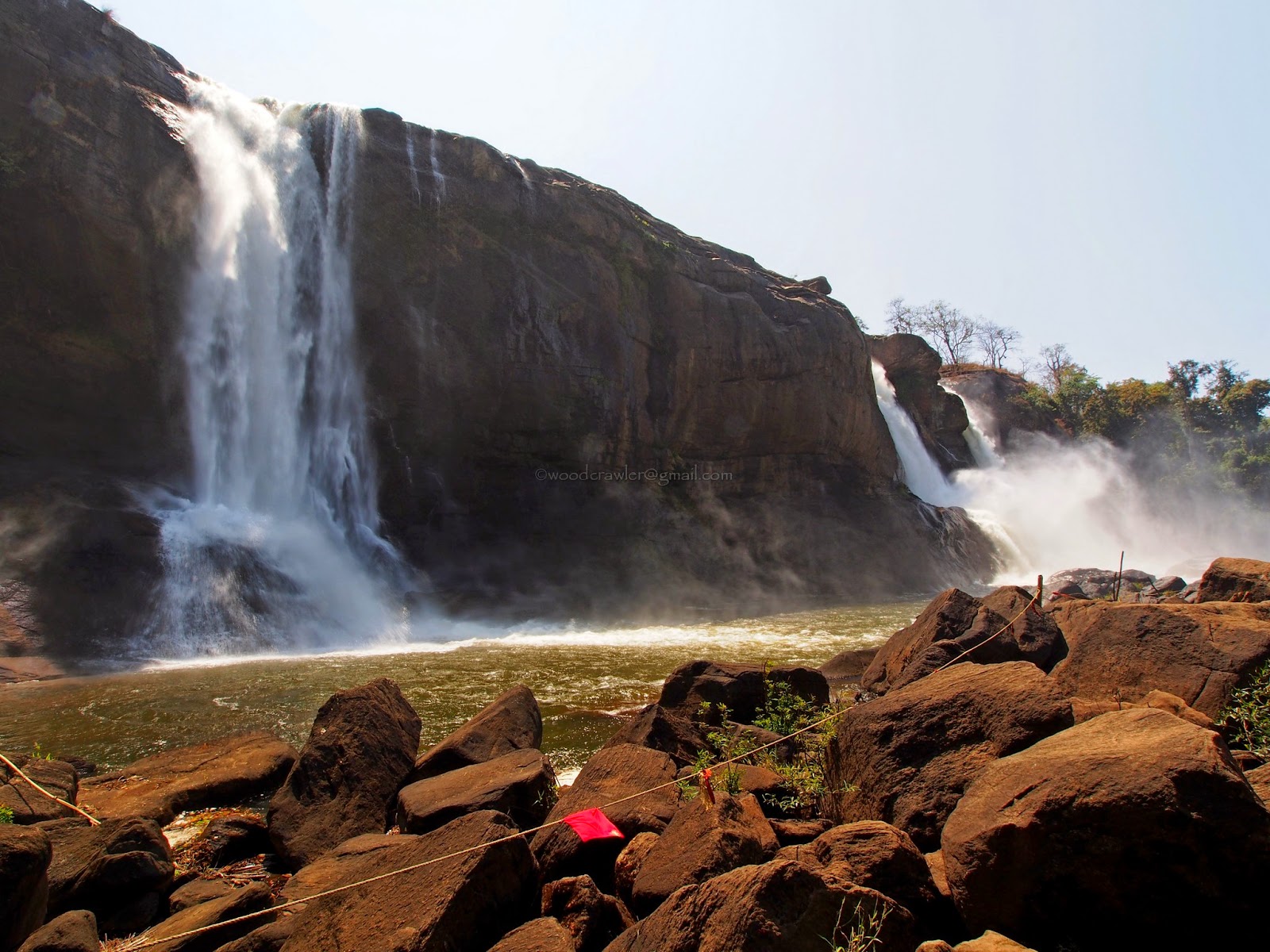
We spent more than an hour at Athirapalli, going down to the bottom of the falls and exploring the place. The crowd was slowly building up and our stomachs were reminding us that lunch was overdue.


We did not stop to visit Vazhachal (74 kms). That would have to wait for another trip. Lunch was the priority now. If you have not, by chance, carried a packed lunch and if you happen to be one of those discerning travelers it might be difficult to find a place to eat after Athirapalli. The better hotels are all located between Athirapalli and the the Vettilapara bridge. We would have had to go back 10 or 15 kilometers so we settled for a simple lunch in a  roadside eatery near the Vazhachal check post.

At the check post you have to declare the list of plastic in your vehicle. There will be an inspection by the forest officers at the check post but if you look to be an honest chap with a kid in tow they will take your word for it! The slip they issue has to be produced at the Malakapara check post for verification. The road after Vazhachal is narrow but good. There is hardly any oncoming traffic and if you drive leisurely you can take in the beautiful sights that come one after another.


A little further on the road turns right over the Vazhachal bridge. We had crossed the Chalakudy river at Vettilapara bridge from south to north and now crossed again to the southern banks. If you look at the river flowing serenely below the bridge you'll never suspect the a kilometer down downstream it would transform into a frothing avatar that would eventually culminate at Athirapalli.


Here on the forest gets wilder and more exciting. You expect an elephant or gaur to cross your path at every turn. Unfortunately, for us, it did not happen. The road leaves the Chalakudy river to swing around the end of the catchment area of the Poringalkuthu (or Peringalkuthu as it is called in some places) reservoir. We did not explore that part as it was past 2.00 PM and we had a long way to travel. In any case, I have heard that we need permission to get to the dam as it is deep inside the forest.


17 kilometers from Vazhachal is Anakkayam (91 kms). The Anakkayam bridge is worth a stop. The narrow bridge looks so rickety you wonder if it will hold the weight of some bus or truck. If one came from the opposite side we'll have no option but to reverse all the way.


The river below meandered between sculpted rock formations. It was a place where, I had heard, you could take a dip but Skanda was fast asleep after a heavy lunch so I just stopped to click  a few pics of the bridge and the river.


 I was warily looking out for elephants. This was a spot where they gathered to drink and bathe but it was mid-afternoon and the rocks would be hot enough to fry an egg. Elephants would know better than to get their sensitive soles blistered! A noise above my head made me look up with the hope I was going to be greeted by the lion tailed macaques but it was only group of langurs feeding on the flowers of the red silk-cotton tree, with an expression of studied disinterest.


Crossing the Anakkayam bridge meant that we had now gone back to the northern bank. It was as I got into the car that I suddenly discovered that the batteries of my camera were all dying on me. This, despite carrying three for my OM-D! I had forgotten to charge it the previous night. The cell phone charging had been priority because of the route we had planned to take. Now I only had the E3 attached to a 600mm equivalent.

As we climbed again towards Valparai the sights became more mesmerizing. Somewhere along the road we cross the penstock pipes going from the Sholayar reservoir to the power house.


The Sholayar was full as we drove further and I had to stop for a photo. I managed to squeeze out the last bit of energy from my dying battery before it finally gave up.


Panoramic view of Sholayar reservoir
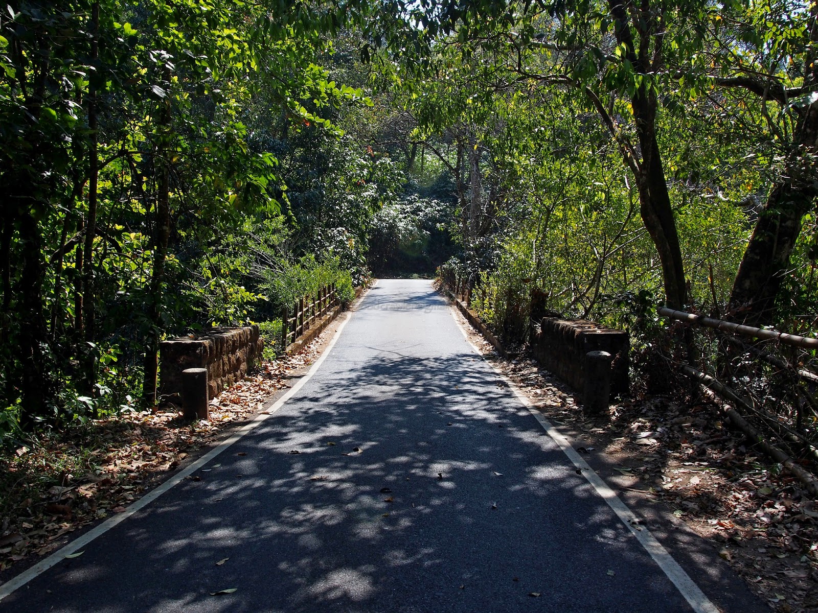
The last few kilometers past Sholayar upto Malakapara was unpaved and going was slow. It would be foolhardy to risk a puncture on this road. I hadn't crossed many vehicles  going down and help, in the event of a break down, would not come immediately. So we drove slowly enjoying the avian life  in the forests around us.


We reached Malakapara check post (124 kms) ten minutes before 4 PM and handed over the list given from the Vazhachal check post. The forest officer there looked at Skanda and I, decided we were not the littering type, and let us through!


About 4 kilometers from Malakapara is the Sholayar dam check post of the Tamilnadu forest dept. You have to take the left fork going downhill. It goes past the spillway of Upper Sholayar Dam bypassing Valparai town. It joins the Valparai-Pollachi highway at Iyerpadi (146 kms). It was 4.45 PM.

The road from Iyerpadi is superb. It is downhill all the way to Aliyar dam and swinging around the 40 hairpin bends is a real pleasure. My only regret is that I did not have a camera to record this part of the trip. The Anaimudi Tiger Reserve gate at Aliyar (184 kms) told us that the best part of the journey had ended, at 6.10 PM. Now the only thought was to reach home for dinner! We bypassed Pollachi town and reached Palakkad (267 kms) at 7.45 PM, exactly 12 hours after we left Birds Song Home Stay in Thattekad that morning.

The drive from Palakkad to Thattekad was only about a 150 kilometers and was completed in three and a half hours excluding stops for food. The return journey was almost double the distance.  It is not a route you'd want to hurry through, but one on which you want to stay and soak in the beauty of nature. We had done a total of 280 kilometer over 11 hours, excluding stops for food, through some of the best forest areas in Kerala and Tamilnadu. Now we want to do it in the reverse direction! After all there are some pending photographs to be clicked!

This route is much longer and more demanding on both driver and the car but it is journey I would have no hesitation repeating any number of times. Next time I'll base myself at Valparai and travel from there. In any case it will happen, in the not too distant future. I'll update on the photographs after that!

Till then enjoy the drive with me on the Long Road Home!