Showing posts with label Hunder. Show all posts

Wednesday, October 11, 2023

Ladakh & Life Lessons - Part 10: Maitreya and Milky Way

 18th July 2023, Afternoon and Night

Khalsar - Diskit - Hunder - Terith


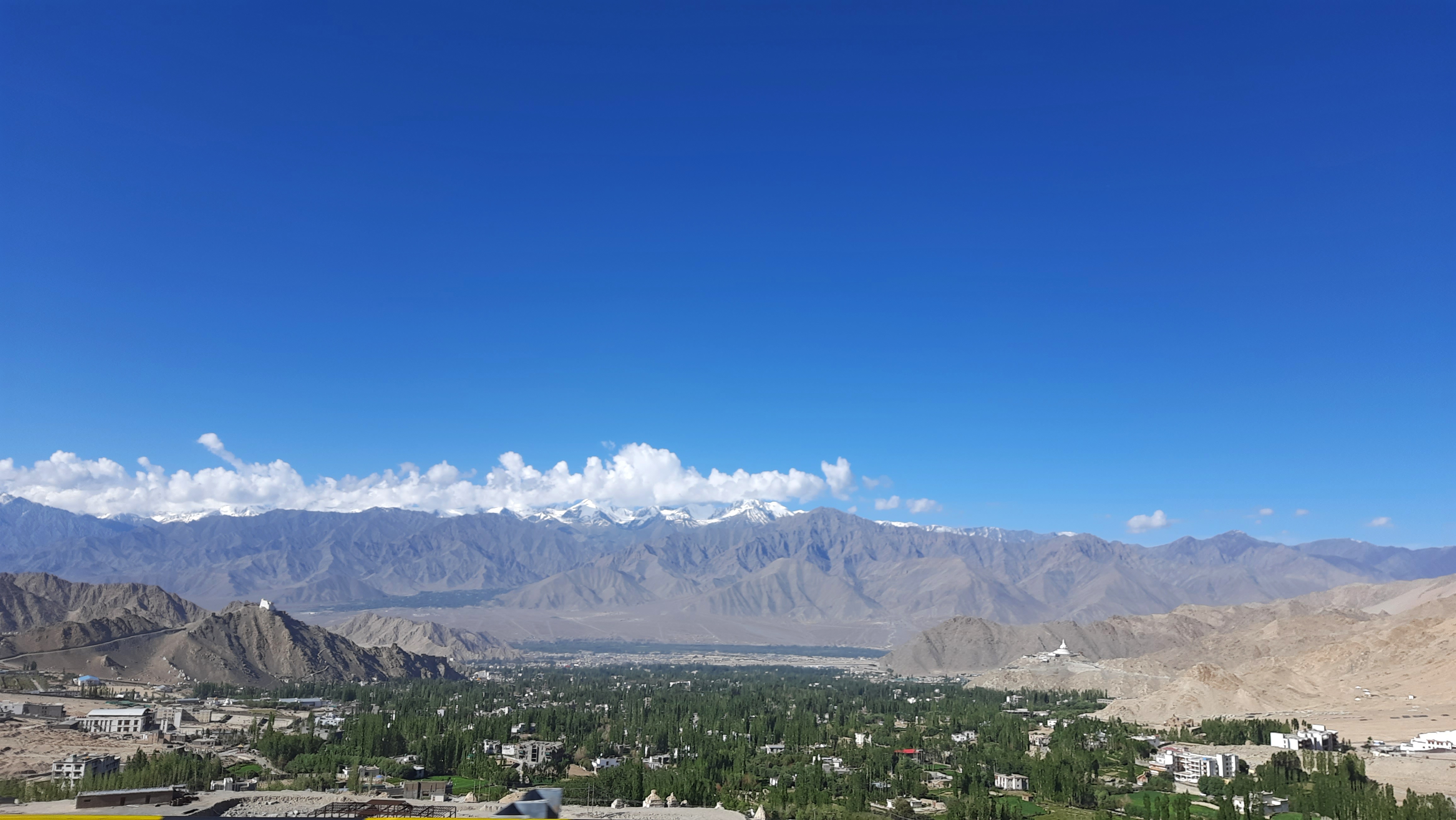
After the early lunch, our plan was to go to Diskit and Hunder, in the Nubra valley. We'd have to  backtrack towards Khalsar, cross the Shyok onto the road to Sumur and Siachen glacier, to reach Terith where our resort was. We were on our way to Diskit a little after 1.15 pm. The sun was beating down so mercilessly that it was hard to imagine that we were in a valley between the Himalayas and the Karakoram ranges. These are the two highest mountain ranges in the world but at that moment we felt like we were in Thar desert!


While this area with popular tourist spots is called the Nubra Valley, it is actually the Shyok valley. The river that runs south of Karakoram range is actually the Shyok, which eventually merges with the Indus in Pakistan near Skardu. The Nubra river itself flows south east through the valley and flows into the Shyok near Diskit. (Red arrow)


The road to Diskit and Hunder was being widened and repaired, as was the road from Khalsar to Pangong Tso. We made slow progress as we were occasionally forced to halt in the interest of safety, while the mountain sides were being ripped apart by earth moving equipment. The traffic build-up that was a consequence of this halt-and-go process ensured that looking at our watches was a futile exercise!


While doing my research for Ladakh, as I mentioned in my last post, I had been drawn towards a face. The face of Maitreya Buddha. He sits tall, below the Diskit Gompa, looking across the Shyok river and the mighty Karakoram mountains. I don't know what the magnetism it was, but though I hadn't been keen on exploring the monasteries in detail, Diskit was an exception. I had made a mental note to spend a few extra minutes here. 


We drove to the monastery first but the heat, with the very uncomfortable thermal wear inside, was unbearable. We were planning to check in at our resort only after going to the famous sand dunes of Hunder so getting out of the thermals was still a couple of hours away. We were hoping it would become colder as the sun disappeared behind the mountains on the west. So we abandoned the idea of a detailed exploration of the monastery and decided to go up to the Maitreya watching over the Shyok valley. 


The colossal statue of the Maitreya Buddha, 106 feet tall, can be seen from the monastery and is on a hillock across a small stream. Unfortunately, though the road goes to the base of the statue, vehicles were not permitted to go up when we went there. I wasn't about to allow the heat to stop me so I decided to walk it up. Maitreya had that effect on me. I had been reluctant to climb places that seemed to leave me breathless but it seemed that I was energised in his presence. 


A few minutes, sitting in contemplation before the serene Maitreya and I knew what I had to do with the rest of my life. I would have sat longer because I couldn't feel the heat any more but there were three people sitting in a baking car. So after a whispered prayer and a promise to be back, I walked back, spinning the many prayer drums as I descended. Something in me had clicked into place. I don't know what, but I felt that life was about to change sooner than later. 


We proceeded to the famous Hunder dunes hoping to see the double humped Bactrian camels. Sadly, the heat had got to them too. They weren't to be seen anywhere and the owner of a mobile food cart told us that they'd appear only after the sun went down. It was exhausting and the dunes weren't looking very inviting in the heat. Most of the wavy sand had been disturbed by the camels and tourists who had been there earlier. It didn't seem worthwhile to wait for a few hours till the camels appeared. 


For those staying in Diskit or Hunder, if you have the time, a two and a half hour (maybe more) drive will take you to Turtuk village, close to the line of control (LOC), on the border with Pakistan. Its fame is not only because it is the northernmost village on the Indian side of the LOC, but also because it is the largest producer of apricots in Ladakh.. Though many say it is a part of Pakistan, it was actually occupied by Pakistan after the 1948 Indo-Pak war, and later was wrested back from Pakistan by India in the 1971 war. Our itinerary didn't include Turtuk because of the limited number of days we had at our disposal. If you are intending to do everything possible around Diskit you might want to consider staying in Diskit / Hunder or even Turtuk for two nights. If you stay more than two days you can explore both sides of the Shyok, including Siachen. (More about Turtuk here)

All along the route there were talks of declining tourist footfall into Ladakh. The road access from Manali side was cut off due to floods, landslides and missing sections of the highway. Our trip itself was postponed by a fortnight and the weather in mid-July had us worried. There was talk about having to start the morning drive earlier than usual as the fast melting snow would flood the rivers by mid-day. In places where the rivers had to be crossed, the rising water could possibly block the already non-existent roads and tracks. 

The Milky Way was next on the priority list so we decided to go to the resort and check in. It had been a long warm day. and a little rest was welcome. At the Osay Khar resort we discovered that we were one of two families that had checked in. It was looking deserted. Terith, as I mentioned was on the opposite side of Diskit, across the Shyok. There was nothing else to do or see around the place. Siachen was too far for an evening drive. This property is on a private farm and has some 20 cottages, of which only two had occupants. It is totally cut off from civilization and meant for people who want some peace and quiet. The ATV rides, camel rides, go karting and zip line for the normal tourist is not on the road to Terith. So if you are that type of tourist better look for accommodation on the Khalsar - Hunder road, in or around Diskit.

Over a cup of tea and fresh pakoras, the manager told us about the resort and afterwards took us around. He, himself was from Himachal and was worried about his home and family there. During winter, when the resort closes for the season he returns to tend to his farm there. One of the reasons that Ladakh attracted me, besides Maitreya, were the birds. I could add so many new species to my life list, and Osay Khar was a good spot. Unfortunately we checked in in the evening and would be leaving by 6.30 am to avoid getting held up by a swollen Shyok. Birding in that area would have to wait for my next trip.


Dinner was served at 8, and having eaten, we went back to our cottage to set up for the Milky way. Fortunately, we wouldn't have to suffer light pollution. With only two cottages occupied the glare of artificial light interfering with our photography plans were reduced. Our postponed trip also turned out to be a blessing in disguise. The original dates for our trip fell during the week with a full moon day. A full moon would have spoilt our plans with its bright light. Our trip fell on a weekend when it was time for the new moon! We only had to worry about the clouds as the threat of rain still loomed. By the time the Milky Way made its spectacular display at half past 9, we were ready for it.


Of the top 10 locations in India to shoot the Milky Way in India, three are in Ladakh. Nubra Valley, where we were; Pangong Tso, to where we were going the next day and Hanle Dark Sky Reserve in the eastern side of Ladakh. We would miss the third location on this trip but that has been added to our bucket list! If you are keen on astrophotography yourself, plan your trip to coincide with the new moon day of that month.

The Milky Way was the icing on the cake for us. We had a long drive ahead of us the next day as the regular route to Pangong Tso was closed for widening. We'd be driving through the Shyok river bed for most of the route and didn't want to get caught in a flood. So we decided to pack up for the night and hit the bed. 

See you on the road to Pangong Tso!


Sunday, October 01, 2023

Ladakh & Life Lessons - Part 9: Khardung La - Fall from the Top!

18th July 2023, Forenoon 

Leh - South Pullu - Khardung La - North Pullu - Khardung

After my initial reluctance, I had consented to go to Ladakh. Even though I still harboured reservations, as days passed, it sunk in that I had made a commitment. If I had to contribute something to the trip, I could only do something that I was good at; travel planning. The proposed destination was over 3500 kilometres away and the last time I had been that side, to Kashmir, was in 1984. My job was made easier by the itinerary I had in my hand. It was the reference point for a start of my research on Ladakh. 

Totally new names like Nubra valley, Diskit, Hunder, Pangong Tso, Tso Moriri, Tso Kar, Hemis and many more were stuck to my head like sticky notes on a notice board. I realized that I had to do some serious research. One of them, however, was Khardung La.  That was a familiar name since, this high altitude pass had staked claim as the highest or at least the second highest motorable pass in the world, till recently, based on the elevation noted at the summit of the pass (18380 feet). The reputation of this  pass was such that, Red Bull Racing team got their Formula 1 car driven up to the summit in 2011. It has since been corrected and the actual elevation of 17,982 feet (5359 metres), has been duly recorded at the summit.


That change has, unfortunately, dropped it down the list of highest passes to the 11th highest in the world and 5th in India (some say 7th)! Now Umling La, at  19,300 feet, after Hanle village in Ladakh is the highest motorable pass in the world. So if you are a road trip adventure seeker, you will have to go with the specific intent as there are no 'touristy' places in the vicinity! Ladakh is known as the land of passes and has more than 15 high altitude passes within its territory. (Click for some interesting information on passes)

Anyway, after 48 hours of acclimatisation, we were ready for the next stage of our trip. As the sun hit the tops of the mountain at dawn, there were very few clouds in the sky at half past five in the morning.


By 7 AM it was already a bright day and even those few clouds had disappeared. Breakfast would be served early as most guests left the hotel by 8 AM to their next destinations. Ours was Nubra valley and Hunder, lying almost half a day's drive across the mountains. 

The drive to Nubra valley is across the Khardung La pass. A four or five hour drive if we didn't stop on the way but that was out of question, considering that there was so much beauty for the eyes to take in, along the way. The manager at our hotel, while seeing us off, had warned us not to hang about for more than 15 minutes at the summit. The danger of AMS was real on the top as Khardung La was almost 6000 feet higher than Leh (11562 feet). 

We were out of the Padma Ladakh a little after 8 AM. After making a brief stop at our travel agent's office to pick up an oxygen cylinder we were on our way. More often than not, the oxygen cylinder returns unused but the charges are collected. Don't avoid carrying one because you never know when you'll end up gasping! We left Leh behind and started our climb. Nubra Valley is on the other side of Khardung La and after the ascent, we'd be descending again, to an altitude that would be similar to that of the place we left. 

A last look at the Shanti stupa and the Tsemo Monastery sitting opposite each other across Leh town and we went rolling up the mountains. 


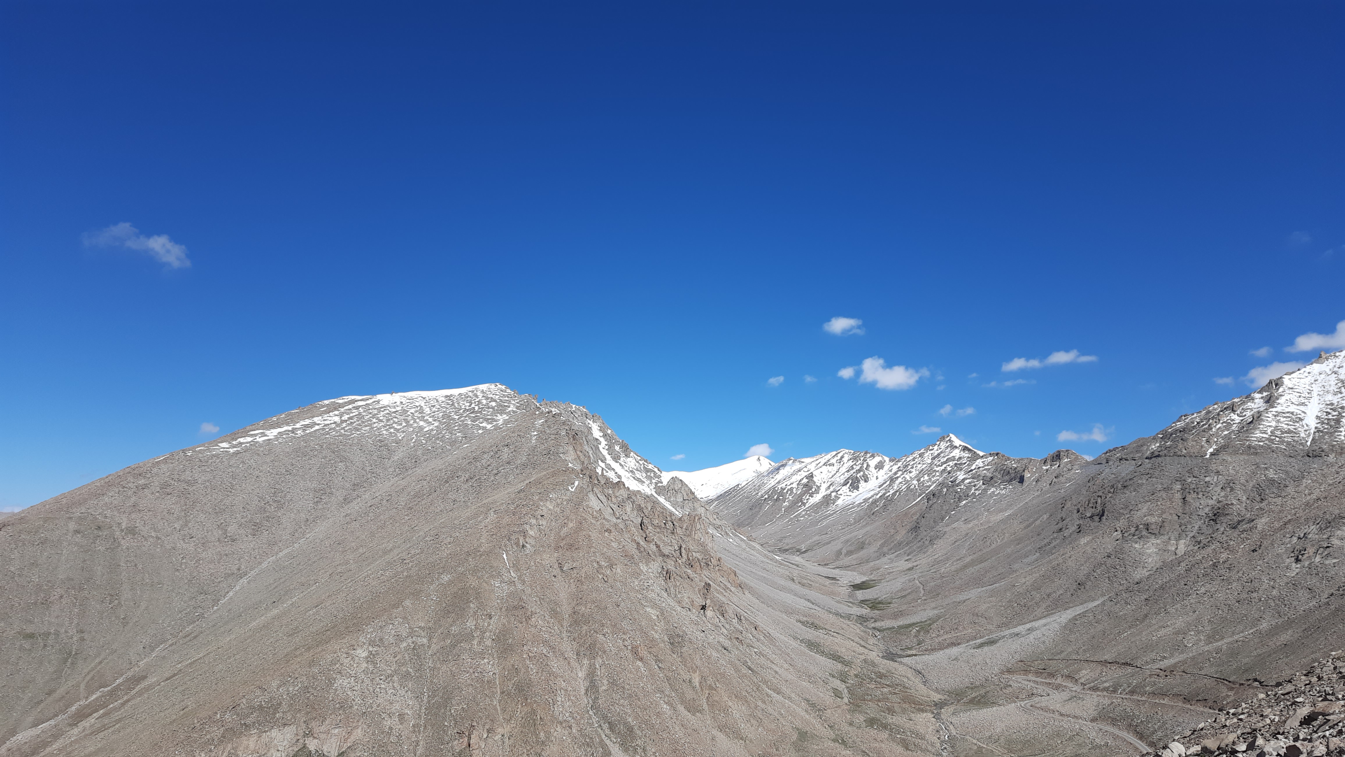
Tsewangji, was his sedate self as usual. Covering 40 kilometres is not very difficult on a good road but we had to climb from around 3500 meters to nearly 5400 meters, an ascent of almost 1900 metres. Hurrying through the rarefied air would not be the best interests of health, even though we had spent the mandatory two days acclimatising. Over the winding roads, we climbed from the green valley below to the barren mountains of dusty brown earth with jagged rocks protruding from their surface.


Leh disappeared across the mountains as we started seeing the snow covered tops further up. Down below were small streams of melt-water that would eventually join the Indus. We stopped at South Pullu  check point to show our passes; a mere formality,  before proceeding further. 


As we gained altitude the snow was visible almost on the roadside. In many places, the mountain streams, due to the melting snow, flowed across the road, damaging the asphalted surface. It was more severe where there had been landslides and rockfalls caused by water flow and heavy rain due to cloud bursts. The teams from Border Road Organisation (BRO) were placed strategically along the road at regular intervals, with earth moving equipment. 

Landslides are frequent not only due to the rain and snow, but also by the loose earth, characteristic of these mountains. That is why it is not advisable to park on the roadside where overhanging loose soil and rock are visible. You might end up under a bit of the Himalayas! Not only that, even parking the car or taking the edge of the road might also prove dangerous. We saw a couple of trucks, including a petroleum tanker and in one place, a snow plough, lying deep in the valley. 

This road is very important and is the lifeline for the armed forces personnel stationed at the Siachen base camp beyond Diskit. So it is not allowed to get blocked more than a few hours as it is vital for movement of army vehicles. All road blocks caused by rock fall and landslides are cleared quickly by the BRO teams.

Though we were passing through a high altitude area with snow, it was getting uncomfortably warm. Due to the rains in Leh, we had expected it to get colder as we reached the top of Khardung La. How wrong we were! As we gained altitude it was only getting hotter. We were wrapped in warm clothing, with the thermals inside and other layers outside. Soon we were squirming in discomfort as the thermal wear inside was adding to our woes. We had to take off our jackets despite having climbed a few thousand feet of altitude!


We summited Khardung La about an hour and a half after leaving Leh. I felt a vague headache and had the feeling that I was having a little difficulty breathing. I wasn't sure if it was my imagination after all that I had heard about the chances of AMS once you reach Khardung La or if it was because I rushed to the urinal, a little too hurriedly! In any case the discomfort vanished once I slowed down. The run to the urinal had probably triggered it off. Mercifully I didn't blackout and need assistance from the army oxygen tent! If you do go to such places, remember you should not behave like an athlete but a 'slow motion' star!

As you climb up from Leh, the army posts are to your left at Khardung La. Don't attempt taking pictures of that side. You are free to shoot pictures of the area to the right of the road. It was already quite crowded, with people trying to pose in front of the board mentioning the altitude. What was disappointing was the amount of plastic waste despite the numerous boards cautioning against carrying and discarding plastics. 


We abandoned the idea of a visit to the cafeteria. The early breakfast was still making us feel energetic, and in any case it was a very crowded summit with more people flowing in every passing minute. It was time to start our descent on the opposite side. There seemed to be more snow on that side and consequently the road was also damaged quite a bit, probably due to small avalanches and rock falls.


After a while the road condition improved as we drove towards North Pullu, where you have to show your passes once again. It is a good spot for a tea and snack break here if you are hungry. There are small restaurants that serve the ubiquitous momos, noodles and bread - omelette. These are located along the edge of a mountain stream that eventually empties into the Shyok river, one of the tributaries of Indus (more about the Shyok river later). The terrain was a little greener compared to the other side. Maybe the melting snow was keeping the earth more moist on this side. The road too, was much better. 


Having crossed the first hurdle, we were now rolling towards our next destination, Nubra valley and the Diskit Gompa (Monastery). I had confessed in one of my earlier posts that I'm not a very pious person. However, while researching Ladakh I was instantly drawn towards a face with a beatific smile on it.  The face belonged to the Maitreya Buddha who sits below the monastery looking across the Shyok towards Pakistan. (More about him in one of the subsequent posts). 


We had to cross Khardung village and Khalsar before reaching Diskit. The road to Pangong Tso diverts along the western bank of the Shyok, a few kilometres from the latter. Since it was undergoing some major upgradation work, traffic to Pangong Tso was being diverted through alternate routes. Either you could retrace your route to Leh and do a day trip to Pangong as many do, or you could drive directly to Pangong through an alternate route that went along the eastern side of the Shyok.

After stopping for an early lunch at Khalsar, we decided to finish our trip to the famous Hunder dunes because we would be backtracking halfway to Khalsar to take the Terith road, where our resort was. More about Hunder, and the Milky Way at Terith in the next post.