28th August, 2012
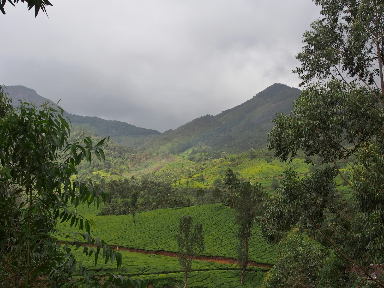
Dawn comes early in Munnar though the sun struggles to show its face through the clouds and rain. For a photographer, it is new opportunity every minute. Looking out of my window the 'blue hour' really was blue, but the colours keep shifting every moment.


The fog kept rolling down the hillside behind the resort and even the "man on the mountain" as my son called "him" looked like he wasn't enjoying the weather.

After a quick breakfast we were out on the road. We had a lot of ground to cover and it meant that we had to back track to Munnar first before getting on the road to Mattupetty & Top Station. Remember, distances here are measured in time, not kilometers! The first few kilometers towards Munnar was sufficiently free of fog to allow an acceptable progress.

Then comes this little narrow gap in between two valleys before you reach Devikulam.........

Once you cross this part into the next valley visibility drops abruptly and the road becomes a little narrower with steep edges. The fog lifts as you reach lower, towards Munnar but watch out for senseless TNSTC bus drivers who think they are driving on a four lane expressway. Keep your fog lamps on, switched off the music, lower a window and use your horn regularly.


When you reach Munnar, don't cross the bridge I mentioned in the last post. Instead, go straight around the curve. The Mattupetty road takes a hair pin turn to the right near the government guest house, going upwards immediately. I couldn't stop for photo without causing a traffic jam!
That road gets a bit busy as it is the main route for tourists in Munnar. The first stop on the way to Top station is Mattupetty dam (21 kms from Munnar). Actually the 1st stop for tourists is Photo Point, a twin hair pin slope set amidst beautiful tea gardens where honeymooning couples stop for a mandatory Bollywood style photo. Unfortunately that place has a lot of tea stall now so it's not worth a stop any more.
The road turns right over the dam, to go to Top station. Two vehicles can cross each other comfortably but the dam is usually crowded with day trippers who seem to think that it is a park rather than a road. Slow down and honk; there are few idiots who are reluctant to move aside for vehicles!
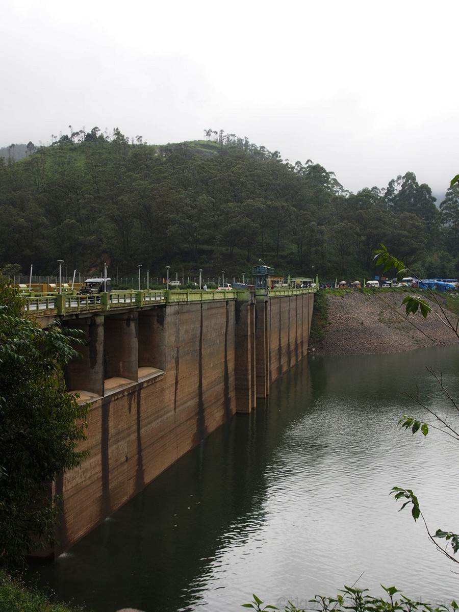
There is boating center a couple of kilometers further down where you can take a 15 minute boat ride for Rs.350. In summer, there is a good chance you might run into an elephant that is going down to get a drink from the reservoir.

We weren't too keen to test the weather especially with the temperature outside reading 15 degrees!


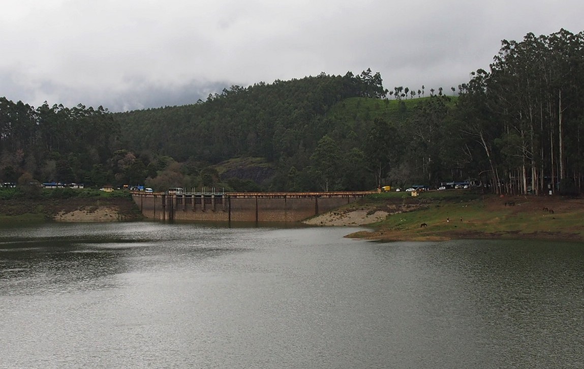
The Kundala Dam (25 kms from Munnar) is smaller and the place was less crowded than Mattupetty.

You might miss the turn because the highway curves right and the board that points you to the dam is partly hidden by another. The highway is very good so you might be just enjoying the drive enough to miss the board unless you are conscious of the distance you have traveled.

There is Noorgiri farm restaurant just before the diversion to Kundala dam where you can get a decent meal. Once you cross that junction look for the board (above) and the smaller road going left to the dam.

Besides the boating (only pedal boats here) you have the usual curio stalls, tea & noodles shops, horse riding, balloon shooting and the "Sir, can I take your picture & give you the print in 10 minutes" photographers.


You can get three shots for Rs.10 so we decided to try it. I good-humouredly told the boy that both of us would take a chance on the condition that I'd get a refund if I shot all three. My son missed three and I hit the target two out of three times. As I was loading up for the last shot the 'target range owner' asked me if he could give my last pellet to my son. Perhaps he took me too seriously!
We had a nice cardamom in a little stall and made some enquiries about the road beyond the dam. On our first day to Anaimudi Shola we had been told that the road through it reaches Kundala. The chaiwallah was more forthcoming. He said not only jeeps but cars and auto-rickshaws plied the road, some loaded with produce from Kanthaloor. There were a couple of difficult spots but could be negotiated with a little careful driving. So it's only a matter of time for us to take a drive through Anaimidi Shola!


The Kundala dam is narrower than Mattupetty so watch out for traffic coming from the other side. Even regular 50 seater buses cross over this narrow strip. I guess there must be some sort of traffic control in place during vacation season. Since this season was dull there wasn't much traffic to delay us on our next leg.
Before Top Station you cross Yellapetty, a small village below the road. The scene is straight out of the English countryside with cabbage patches & cows lazing around!

Watch out for some friendly horses on the road! This one was trotting alongside and ahead of us blocking our progress. If you have your window wound down it will even put its head into the car for a snack you have to offer!

The Top Station (35 kms from Munnar) junction is nothing but a hotel in a corner. This is apparently the only place to get a meal if you have not packed food. The road going left goes to Pambadum Shola (our destination, so more about it later).

If you go right you supposedly reach a view point (to which you have to climb down a bit) from where you can see the Kolukkumalai peak and one of the highest located tea estates in the world.


We did not go to the view point (the upper edge of the grassy slope in the picture above) since our priority was different but apparently it gives you a great view of the Kolukkumalai peak (7900 meters) and the neighbouring Tamilnadu
The road going left from the junction goes to Pambadum Shola National Park and Vattavada village thereon. The entrance to Pampadum Shola National Park (37 kms from Munnar) is a little more than a kilometer from this junction. There is an office where they issue a pass and assign a guide if you want to trek in the shola.


The road after the check post goes to Vattavada village. There is something mentioned about the "highest road South of Himalayas" but it has been erased for some reason!

We registered ourselves at the office (Rs.100 for two of us), picked up a camera and started walking. Our expectations were dampened a little when we discovered that we'd not be going off into the dense forest paths. That would have to wait till summer since the rains had made the jungle paths very slippery that there was the risk of injury if from an accidental fall. Of leeches we were not worried, about but with a bad back it made sense to accept the suggestion to walk a safer route.
 Our walk was therefore confined to an asphalted road that was actually the old Munnar-Kodaikanal road. It has been closed down now for the protection of the rich biodiversity of the shola forests. This route passed by the Berijam lake near Kodaikanal.
Along the road there are firelines and markers demarcating the border between Kerala & Tamilnadu.

The Pamabdum Shola is really wet place and the name translates into "the Shola where Snakes dance" but the snakes make an appearance only in after the sun comes out, to warm themselves. As we walked deeper the sky disappeared from view and it was like walking through a tunnel.

It looked like the wet weather would force us to return early but the clouds held back. A light drizzle was acceptable considering the environment we were in. As we walked further it looked like we were stepping into another world; one that belonged to dinosaurs. Moss covered tree trunks and branches with giant ferns, made the place look prehistoric.




Of course, dinosaurs were not going to come crashing out of the foliage but there were plenty of other things that we ran across in just 90 minutes. First thing that caught my attention was a brown bird that flew across the track. A female Malabar Trogon.

So if she was there, her mate could not be too far away. Sure thing, he appeared a minute later. To perch on a tree just beyond his mate.

The last Malabar Trogon I had seen was 10 years ago in Silent Valley National Park. I regretted the decision to leave my big lens and camera in the car. I wasn't sure what I was heading into so I did not want to carry gear that weighed a little over 4 kgs. My Oly OM-D is eminently weather sealed to survive any wet weather but my lens just did not have the reach.
A minute later I saw a yellow bird that appeared to be an Common Iora to me, but I couldn't be sure. My undue caution in avoiding heavy equipment put me in a situation I was regretting now.

A little further on, there was a sudden noise of movement in the canopy. A group of black langurs feeding on figs. One of them looked at me for a while and decided I could not reach it and continued the business that had been interrupted.


The show wasn't over yet. There were signs of the elephant and gaur but it required something extraordinary to bring them out onto the track in wet weather at 1 PM in the afternoon. Our rumbling abdomens reminded us it was time for lunch so we turned back since a decent lunch was an hours drive away. Half way back to the car we saw this Malabar Giant Squirrel foraging for its lunch not too far from the edge of the track.

It was a fulfilling exploratory trip and perhaps the first of the many to come. Pambadum Shola was a treasure trove. If a 90 minute walk could reveal so much I was wondering what else a two day program with a halt in the forest lodge overnight would throw up! This is reputedly a place where the endangered Nilgiri Marten is found so I have solid reason to return.
As we drove back I was again reminded of measuring distance in time in Munnar. There is too much to see and absorb. You cannot avoid stopping mesmerized by the sights nature throws up at every turn.
Of course, you can't beat us humans to also make you slow down and pause to think of other reasons to slow down on these narrow roads.


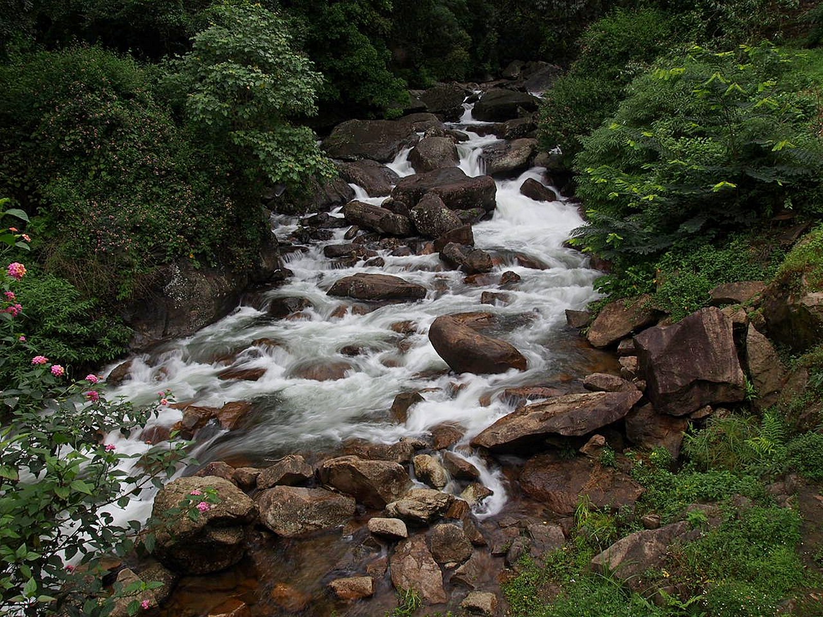
By the time we got back to our resort it was almost 6 PM. At the end of a long day the soothing sight of the Power House Falls was worth a final stop.

To be continued......